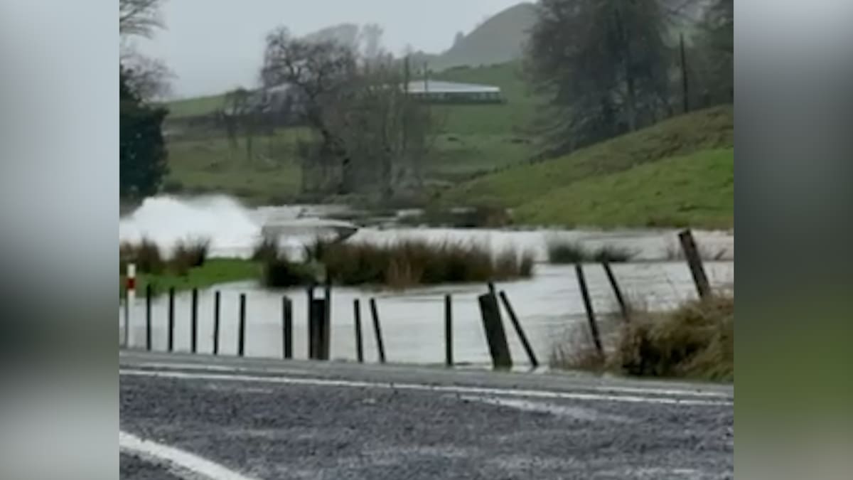
“Put safety first. Don’t take any chances. Act quickly if you see rising water.
“Never try to walk, swim, drive through or play in flood water.”
Earlier today MetService warned of thunderstorms and heavy rain Taranaki and coastal parts of Waikato and Waitomo.
This followed localised downpours fell at rates nearing 20mm/hr in parts of the upper North Island overnight.
The wet conditions come just days after torrential rain triggered flash flooding and landslides across Taranaki on Thursday.
On Saturday, forecasters said there was a moderate risk of thunderstorms in Northland, eastern Bay of Plenty and Gisborne/Tairāwhiti – with the potential for hail up to 1cm in diameter over Gisborne later in the day.
MetService has issued a heavy rain watch for the Wairoa District in Hawke’s Bay, which remains in force until 9pm Saturday.
Between 60 and 80 mm of rain and thunderstorms are expected until 1am Sunday.
Streams and rivers could rise rapidly.
Peak rates of up to 20mm were expected, with a “minimal chance” of upgrading to a red warning.
The South Island has also been under attack from the weather this week.
The Nelson Tasman region was smashed by damaging floods and heavy rain.
Homes in Nelson, Tasman and Marlborough were left uninhabitable, roads were damaged, and properties have been inundated with flood waters – dubbed by local authorities as a “one-in-100-year event”.
However, another bout of heavy rainfall came and went on Thursday without any dramatic exacerbation of the existing post-flood crisis.
MetService confirmed more than 250mm of rain fell in Blenheim across the month, while about 220mm fell in Nelson – a record for both areas.
-Additional reporting RNZ


