A hot mass of air that built up over the Pilbara and smashed temperature records in the outback will hit Sydney on Wednesday, unleashing a scorching day that comes with high winds, extreme fire danger, risk of a thunderstorm and a severe heatwave warning for parts of NSW.
Records for October heat were broken on Monday in the inland NSW towns of Tibooburra, which hit 42.6 degrees, and Cobar, which hit 40.1 degrees. Similar temperatures for central NSW were forecast again for Tuesday before the heat reaches the coast.
Sydney is set for an unseasonable scorcher.Credit: Steven Siewert
“After today, the heat will push out towards the east coast, with the Sydney Metro area and eastern NSW seeing their hottest day on Wednesday,” Angus Hines from the Bureau of Meteorology said.
“Sydney is forecast to reach 38 degrees … and it could approach 40 degrees in the western suburbs. Alongside these very hot days, there are stifling nights as well, causing heat waves to trigger in some areas.”
If the mercury eclipses 38.2 degrees, Wednesday could mark the hottest October day on record. Based on the forecasted heat, Weatherzone meteorologist Ben Domensino expects the average maximum temperature for this month to come in at 27.1 degrees, which is 5 degrees hotter than normal.

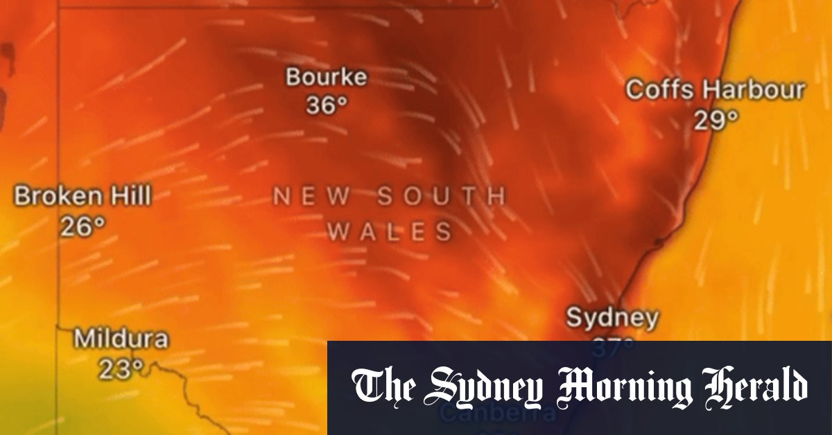
A hot mass of air moving across the country will hit Sydney on Wednesday, as shown by this image from Windy.Credit: Windy
That would not only mark Sydney’s hottest ever October, it would also beat the record for the warmest November.
“No spring month has ever been this hot in Sydney’s meteorological history, which dates back to 1859,” Domensino said.
The record-breaking heat comes after a “sudden stratospheric warming” event over Antarctica. The rare phenomenon has seen heat spike by 35 degrees in a band of air 12 to 40 kilometres over the South Pole.


