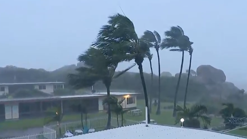
The heavy rain is expected to continue into Monday, prompting authorities to urge residents to stay up to date with official alerts and warnings.
A woman and her two children entered floodwaters in a vehicle at Bogie, a township west of Bowen, on Sunday morning, after following directions from Google Maps.
Loading
“This was a person who came upon a road-closed area, entered details in Google Maps [and was then directed] down a side road, which was unfortunately flooded,” said Queensland Police Deputy Commissioner Chris Stream.
“Luckily, [they] … were able to self extract and walk to a nearby homestead, whereby they were able to receive assistance.”
Premier David Crisafulli said on Sunday afternoon that it was a reminder for people to listen to “locals on the ground” in times of disaster.
“We’ll give the information as soon as we have it, and I just do ask if people can use that single point of truth, which is the disaster Queensland website,” he said.
The weather bureau said the system may drift across north-west Queensland for several days as a low, with tropical moisture drawn south from today.
This is expected to bring heavy rain, with the possibility of flash flooding, the chance of thunderstorms and strong winds to south-east Queensland from Monday, with a 70 per cent chance of showers extending into northern NSW.
Rain and wind will continue into Tuesday, but is expected to ease from Wednesday.


