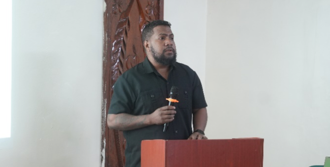
As a nation deeply interconnected with the sea, where the ocean constitutes a remarkable 98 percent of our territory, the maritime industry serves as our lifeline.
Thats according to the newly appointed Minister of the Ministry of Infrastructure Development (MID), Ricky Fuo’o during a seminar hosted by the Solomon Islands Maritime Authority (SIMA) last week.
During the seminar, SIMA and its stakeholders deliberated on the Electronic Navigation Charts (ENC) project funded by the Japan International Corporation Agency (JICA).
At the seminar, SIMA also launched the country’s first ever ENC software to be used by big foreign vessels aboard which ENC hard wares are installed
“Mobility and connectivity across our more than 300 islands are fundamentally reliant on safe and efficient maritime transport.
“Recognizing this intrinsic relationship, Solomon Islands Government has embraced the Solomon Islands National Ocean policy in 2018 as a strategic roadmap for the integrated management and governance of our ocean,” Minister Fuo’o said.
He added; “safety of navigation on our ocean is not merely a technical requirement, but a national priority and a fundamental cornerstone of responsible ocean stewardship.”
Minister Fuo’o emphasized in the 2024 Tulagi Declaration, strengthening the national hydrographic capabilities is foundational not only for maritime safety, but also for advancing economic development facilitating sustainable resource management, and bolstering environmental protection.
“In this context, the SIMA-JICA project on development of Electronic Navigational Charts (ENC) represents a monumental stride forward.
“Launched in 2022 and now beginning to yield its first tangible results, this project is delivering the first ever ENC for Solomon Islands waters.
“This achievement is a testament to the successful collaboration between Solomon Islands, Japan and Australia,” Minister Fuo’o said.
Minister Fuo’o said, the production of these ENCs is the result of harnessing state-of-the-art technology, implementing rigorous data processing systems, and crucially building national capacity in Solomon Islands and at SIMA, the country’s mandated agency for hydrographic services.
“This includes comprehensive training and data processing in Japan and vital quality control and assurance checks conducted by the Australian Hydrographic Office (AHO) our esteemed primary charting authority, and the depositary of our hydrographic data.
“Beyond the immediate imperative of maritime safety, the development of hydrography as a robust ocean science contributes significantly to the overarching goals of our National Ocean Policy.
“Hydrographic data is vital for sustainable coastal planning and management, the elimination of our maritime boundaries and the extended continental shelf, thereby securing our sovereign rights and supporting sustainable economic investments,” Minister Fuo’o emphasized.
He added that by embracing new technologies, such as the S-100 framework for interoperable maritime data, and adapting the best international standards; “we ensure that Solomon Islands, as an ocean country in the blue pacific, remains at the forefront of maritime development.”
By IAN LADDS OSO
Solomon Star, Honiara


