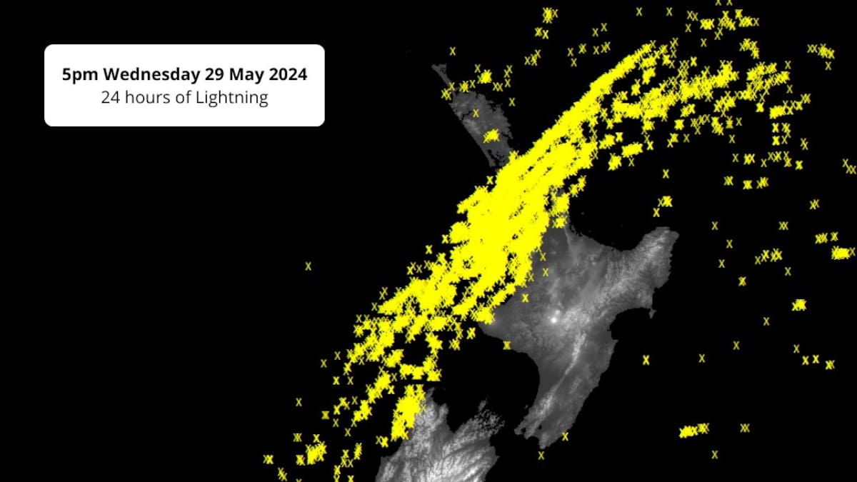
- A severe thunderstorm watch remains in place until 7pm for Auckland, Coromandel and Waikato.
- Gusts of up to 120km/h are expected across the top of the North Island.
- NZTA is warning the Auckland Harbour Bridge may close temporarily.
- Power is out to more than 17,000 Waikato properties.
- Auckland emergency officials tell residents to be wary and prepared.
A severe thunderstorm warning has been lifted for parts of Auckland and the Hauraki Gulf this evening, but forecasters warn the worst of the wild weather to strike the city is yet to come.
The warning covering Rodney, the Gulf and Albany was issued about 5.15pm tonight, warning of damaging winds gusts and hail. The warning has now been lifted by the MetService.
However, the top of the country remains under a severe thunderstorm watch with the wildest winds forecast for the rush hour commute and into the evening.
Auckland’s Harbour Bridge may close temporarily as 120km/h winds are tipped to pummel the Auckland region.
STORY CONTINUES AFTER LIVE BLOG
STORY CONTINUES:
And in Waikato, thousands of properties are without power.
WEL Networks said power was out at more than 17,500 properties, with 27 separate outages across the district. The outage are expected to last for up to five hours for some of the affected homes.
The areas impacted include Raglan, Whatawhata, Hillcrest, Chartwell, Rototuna, Huntington, Puketaha and Gordonton.
Torrential downpours, damaging winds and marble-sized hail rolled through the Upper North Island today and they are expected to get stronger as the afternoon continues. Some temporary short-term road closures may be necessary.
Auckland Emergency Management is warning Aucklanders to plan ahead for the impacts of high winds and possible power outages tonight.
“More wind is still to come,” AEM acting general manager Adam Maggs said.
“Messy weather systems like these are hard to predict and we still expect the effects of these gusty winds to be felt across the region overnight.”
People are being urged to stay off the roads, secure loose objects around the home and treat any downed power lines as live.
For those who do have to travel, Maggs urged caution.
“Strong winds can shift branches, signs and other items around very easily, so please take care of yourselves and each other if you are travelling home or heading out this evening. Take a moment to plan your journey before you go, drive to the conditions, watch your speed and avoid unnecessary trips if you can.”
Vector says power outages are affecting part of the city’s network. The outages are predominantly affecting the west coast and north-western parts of Auckland.
“Strong wind gusts are forecast into the evening, which could cause branches and trees to fall on power lines,” Vector said.
“Our crews will be stood down, if it becomes unsafe for them to work in the weather conditions. They will resume as soon as it is safe to do so.”
Snow is also forecast to fall on the Desert Road in the central North Island from 4pm today.
MetService meteorologist Mmathapelo Makgabutlane said exposed areas of Auckland had seen wind gusts up to 124km/h already.
“It’s been a very active morning, and that is set to continue for the rest of the afternoon and evening,” Makgabutlane said.
Auckland Mayor Wayne Brown said Aucklanders did not need to head home early “at this stage” but recommended only “essential travel”.
MetService has issued a Severe Thunderstorm Watch and a Strong Wind Warning (orange) for Auckland, including Aotea Great Barrier, for this afternoon, evening, and into the early hours of Thursday morning.
— Mayor Wayne Brown (@MayorWayneBrown) May 29, 2024
Maggs said it was important for Aucklanders to keep a close eye on any updates to the weather forecast and plan travel “very carefully”.
Maggs said commuters should keep be alert to changes in the roading network, public transport and any potential harbour bridge closures.
“If you are out, drive to the conditions – watch your speed and if you don’t need to be on the roads this afternoon or evening, you can help avoid any pressure on transport networks by staying in or delaying your trip.
“High winds can bring trees down and affect power services, so if you’re in an area prone to power outages, now is a good time to make sure you have a plan in place to do without power for a short period of time.”
A strong wind watch is in place for Northland south of Kaikohe, Coromandel Peninsula and the Kaimai Range, and Waikato north of Kawhia Harbour, Te Awamutu and Matamata. MetService warns winds may reach severe gales in exposed areas.
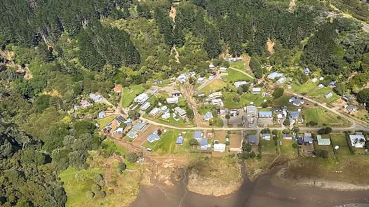
The weather has made its impact on the Coromandel.
SH25 PIPIROA – FALLEN POWER LINES – 4:30PM
Fallen power lines on #SH25 Pipiroa (by Abbot Rd), south of Thames, closing the road & detouring traffic. Westbound detour: Left onto Bush Rd, right onto SH2, right onto Pipiroa Rd, & left back onto SH25. Eastbound: Reverse detour. ^CO pic.twitter.com/4pZzIvPRgg— NZ Transport Agency – Waikato & Bay of Plenty (@nztawbop) May 29, 2024
Downed power lines lead to the partial closure of SH25 south of Thames, near Pipiroa, with traffic being diverted via rural roads.
NZ Transport Agency Waka Kotahi crews have been busy clearing fallen trees on SH23, SH31, SH37, SH39 and on SH1 at Karāpiro.
It said road users should be aware that there is a risk of further fallen trees this evening and overnight and roads may have to close as it will not be safe for NZTA crews to clear trees in the dark.
Earlier today, large pieces of hail blanketed Auckland streets, setting off car alarms and sending people running for cover. Residents compared the size of the hail to that of marbles.

Several areas lost power when trees brought down lines during the storm.
Makgabutlane said the wild weather was expected to ease tomorrow morning but some blustery conditions would linger.
“On Thursday, we’re still expecting it to be a pretty breezy day, but not as strong,” Makgabutlane said.
“However, in the South Island, that’s where we start to see winds cranking up from the northwest.”
Rachel Maher is an Auckland-based reporter who covers breaking news. She has worked for the Herald since 2022.


