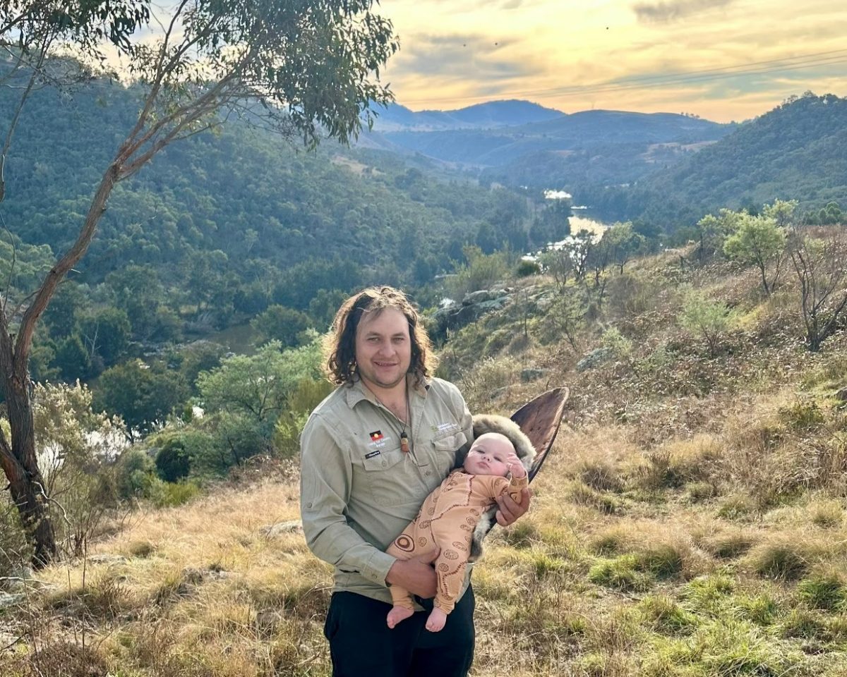
Jahli’s Lookout is the high point of the new River Descent Track. Photo: Ginninderry.
The first public access point to the Murrumbidgee River on Canberra’s northside in 20 years has opened, as part of a new bushwalk in the Ginninderry development in the ACT’s far northwest.
The ‘River Descent Track’ joins more than 10 km of existing trails constructed in the backyard of the up-and-coming suburbs of Strathnairn and Macnamara by local environmental group Ginninderry Conservation Trust.
The walks all start from ‘The Link’ community centre in Strathnairn, and range between one and six kilometres in length.
The more challenging tracks take hikers higher up to staggering views over the river such as Shepherds Lookout.
Earlier this year, the 4 km ‘Woodland Loop’ opened, which includes Canberra’s first swing bridges (15 metres and 37 metres respectively).
The latest track, which opened this week, can be accessed via the Woodland Loop and Nguurang Bila Loop, with its key highlight being ‘Jahli’s Lookout’, about 3.5 km from The Link.
It’s named in honour of the son of Ginninderry’s ‘Caring for Country’ team leader Tyson Powell, who is also a proud Wiradjuri and Ngunnawal man.
The lookout is just a stroll away from the stringybark tree where Tyson cut a ‘coolamon’ – a shallow curved-sided dish – for his one-year-old son.
Coolamons have long been used by Indigenous Australians to cradle their babies, but also to carry food, tools, and water.

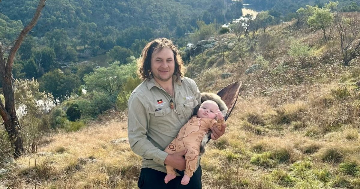
Ginninderry ‘Caring for Country’ team leader Tyson Powell and his son Jahli at ‘Jahli’s Lookout’. Photo: Ginninderry.
“If you go around Canberra, or pretty much anywhere around Australia, you’ll find old scar trees that are hundreds of years old,” Tyson says.
“I cut my first one in my early 20s, and traditionally it would’ve been done all the time because it’s a pretty common item within our culture, and even though it leaves behind this big scar on the tree, the tree lives on just fine, it doesn’t affect it.”
He says having a lookout named after Jahli is “incredibly special”.
“When he grows up, Jahli can come out here and see this scar tree, it connects him to this place, to Jahli’s Lookout. It’s a good thing to see that our ancestors made these coolamons, and we’re still doing the same thing today and keeping the tradition alive.”
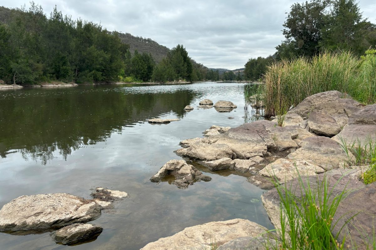
The track descends from Jahli’s Lookout in a series of zigzags, ending at a picnic area on the shore of the Murrumbidgee River.
“The River Descent Track is a fantastic addition to Ginninderry, offering our community and visitors a way to connect with one of Canberra’s most iconic rivers,” Ginninderry development directory Stephen Harding added.
“Whether you’re fishing, having a picnic, or simply enjoying the hike, this track provides an unmatched opportunity to explore the beauty of the Murrumbidgee.”
Ginninderry is a joint venture between Riverview Developments and the ACT Government’s Suburban Land Agency, and stretches from the north western suburbs of Holt and Macgregor across the NSW border into a part of the Yass Valley.
It will eventually be home to about 11,500 homes and 30,000 people.

It’s a very popular fishing spot for Murray Cod. Photo: Ginninderry.
The developers helped establish local environmental group Ginninderry Conservation Trust to look after the 596-hectare “conservation corridor” along the Murrumbidgee River and Ginninderra Creek as part of this.
The tracks are classified as ‘Grade 3’ by the Australian Walking Track metric, as “formed earthen tracks” with some steep sections.
The Trust also warns snakes may be in the area. No dogs are allowed.
Nearest toilets and drinking water is located at The Link, 1 McClymont Way, Strathnairn.
Visit Ginninderry for more information.


